Riding the Grossglockner High Alpine Road in Austria
2 min read
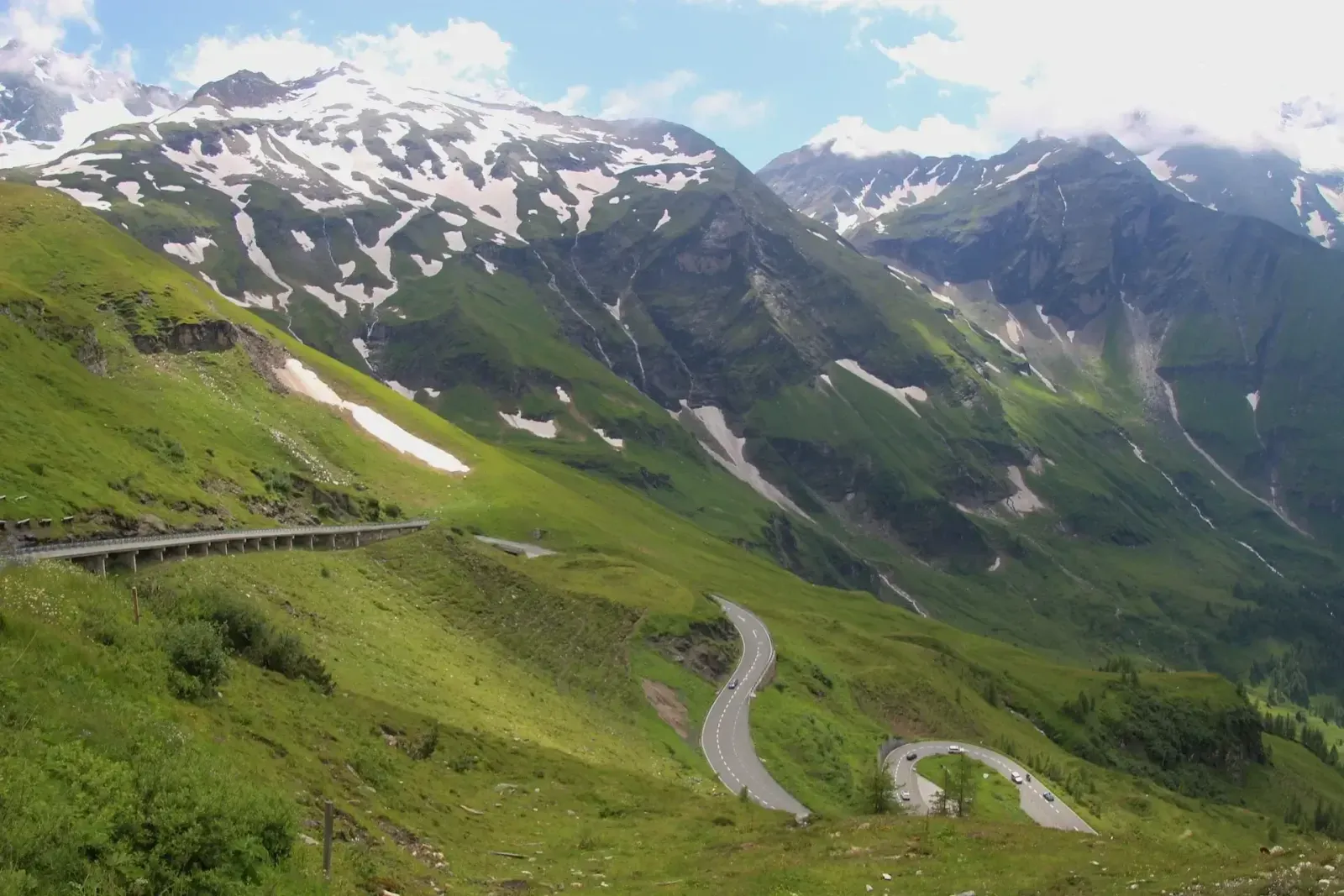
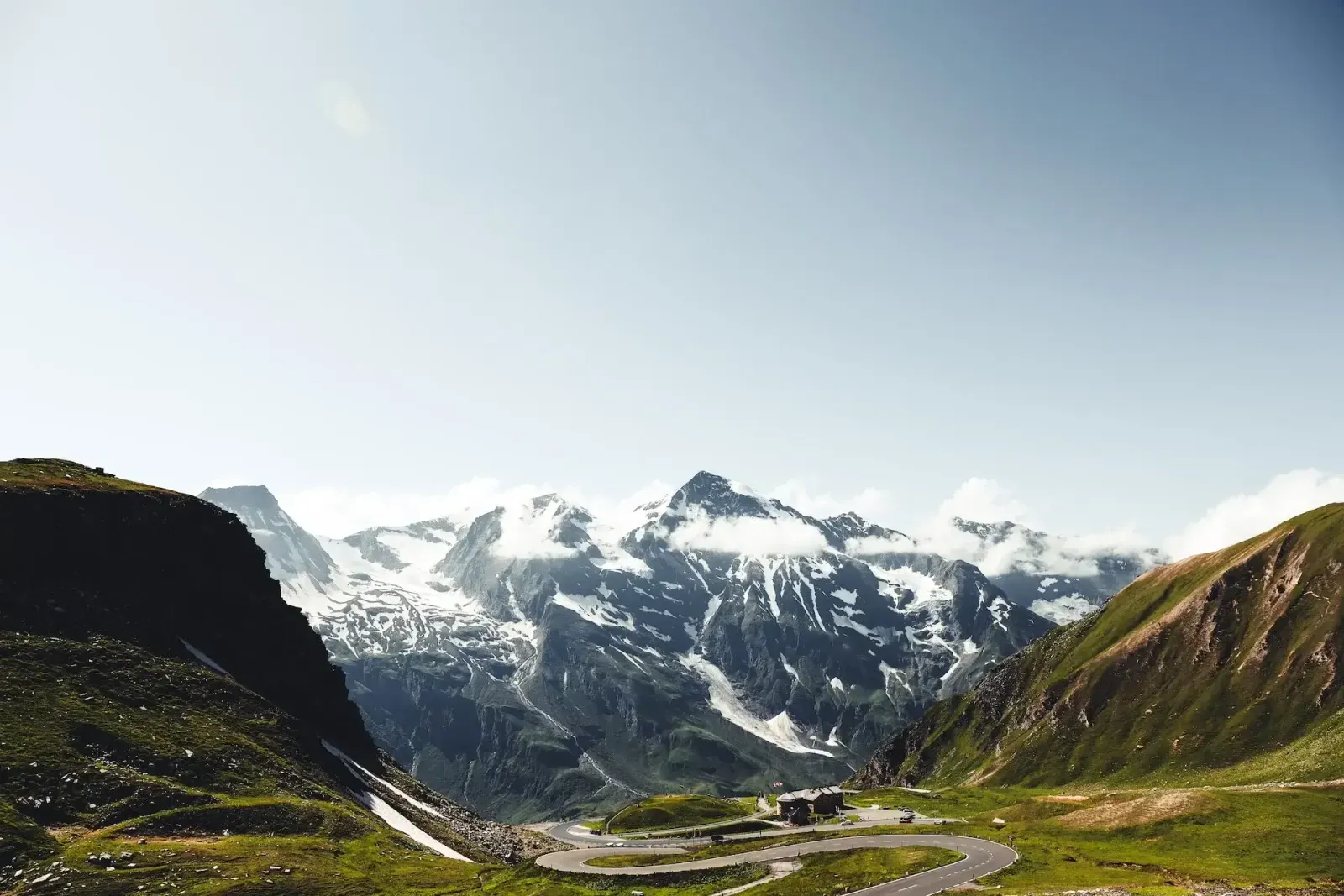
The Grossglockner High Alpine Road crosses Austria's Hohe Tauern National Park from Bruck in Salzburg to Heiligenblut in Carinthia: 48 km (30 mi) and 36 bends, topping out at 2,504 m (8,215 ft) at the Hochtor. On the way you ride below the Grossglockner, Austria's highest mountain. Here's what to know before you go and where to stop.
Before you go
- Season: the road is open from the start of May to the start of November. The exact dates depend on the snow.
- Opening hours: they change through the season, from early morning to evening in summer to shorter days in the fall. Riding outside opening hours is not allowed: there is a night-time driving ban.
- Toll: it's a toll road, with a day ticket for motorcycles. See the current prices and opening hours before you ride.
- Weather: it changes fast at 2,500 m, even in summer. Bring a warm, waterproof layer.
Riding the road
The bends are wide and well surfaced, which makes this a road to flow along rather than fight. In blind left-handers, elliptical markings on the road warn you to stay alert. Leave time for the side roads to Edelweissspitze and Kaiser-Franz-Josefs-Höhe: they lead to the best views on the route.
Five places to stop
- Fuscher Törl: a high point on the northern side at 2,428 m (7,966 ft), looking back over the road you've just ridden.
- Edelweissspitze: at 2,571 m (8,435 ft), the highest point you can reach on the road, 1.5 km (1 mi) up a side road from Fuscher Törl. The 360-degree view takes in the surrounding peaks and valleys.
- Hochtor: the highest point of the road itself, at 2,504 m (8,215 ft), and the border between Salzburg and Carinthia.
- Kaiser-Franz-Josefs-Höhe: the visitor center at the end of a side road, at 2,369 m (7,772 ft). It looks straight at the Grossglockner and down onto the Pasterze, Austria's longest glacier. The Glocknerhaus mountain hut is on the way up.
- Heiligenblut: the village at the southern end of the road, where the climb from Carinthia begins.