Riding the Tail of the Dragon on US 129
3 min read
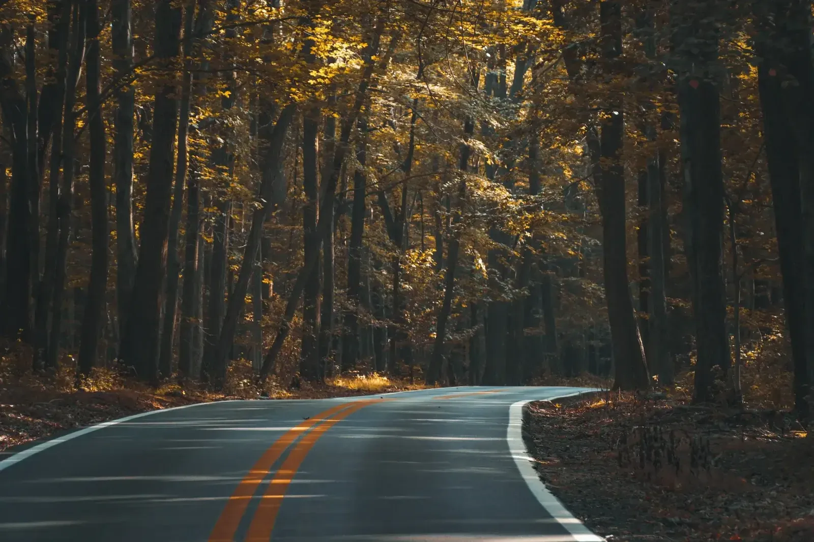
The Tail of the Dragon is the 18 km (11 mi) stretch of US 129 that runs from Deals Gap, on the North Carolina state line, into Tennessee. It packs 318 curves into those 18 km, with no intersections, driveways or stop signs along the way, since one side of the road borders Great Smoky Mountains National Park. That's what draws riders from all over the world, and it's also why it gets busy.
What the riding is like
The curves come one after another, many of them tight and blind, with almost no straight road in between to reset. Some of them have names riders know, like Copperhead Corner, Hog Pen Bend and Gravity Cavity.
The speed limit is 48 km/h (30 mph), and it's enforced. Ride the Dragon for the corners, not the clock: the challenge is reading each bend and getting your throttle, braking and line right, over and over.
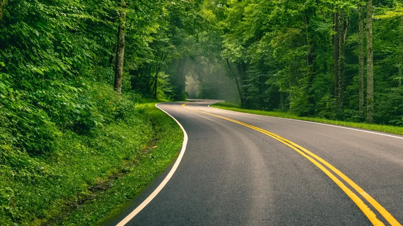
Expect traffic coming the other way, including cars and riders who have run wide in a bend. Keep well to your side of the double yellow line, especially in left-handers you can't see through, and leave room to the rider ahead.
When to go
Weekends and holidays bring a steady stream of bikes and sports cars. For more road to yourself, ride it on a weekday or early in the morning. Use the pull-offs along the way to stop, let faster traffic by and take in the view.
Where to stop
- Deals Gap Motorcycle Resort: at the North Carolina end of the Dragon, where most riders start. Food, fuel, other riders and the Tree of Shame, hung with parts from bikes that didn't make it through the curves.
- Cheoah Dam: 3 km (1.8 mi) south of Deals Gap on US 129. It's the dam Harrison Ford jumps from in The Fugitive.
- Fontana Dam: east of Deals Gap off NC 28. At 146 m (480 ft), it's the tallest dam east of the Rockies, with views over Fontana Lake and the mountains around it.
- Cherohala Skyway: not part of the Dragon, but close enough to ride the same day. It runs 69 km (43 mi) between Tellico Plains, Tennessee, and Robbinsville, North Carolina, climbing to about 1,650 m (5,400 ft) with long, sweeping curves instead of tight ones.
- Great Smoky Mountains National Park: right next to the road, with more scenic roads, overlooks and waterfalls once you're done with the Dragon. The Blue Ridge Parkway ends on the park's other side, at Cherokee.