


Best motorcycle routes in
Waynesville
Best motorcycle routes in Waynesville
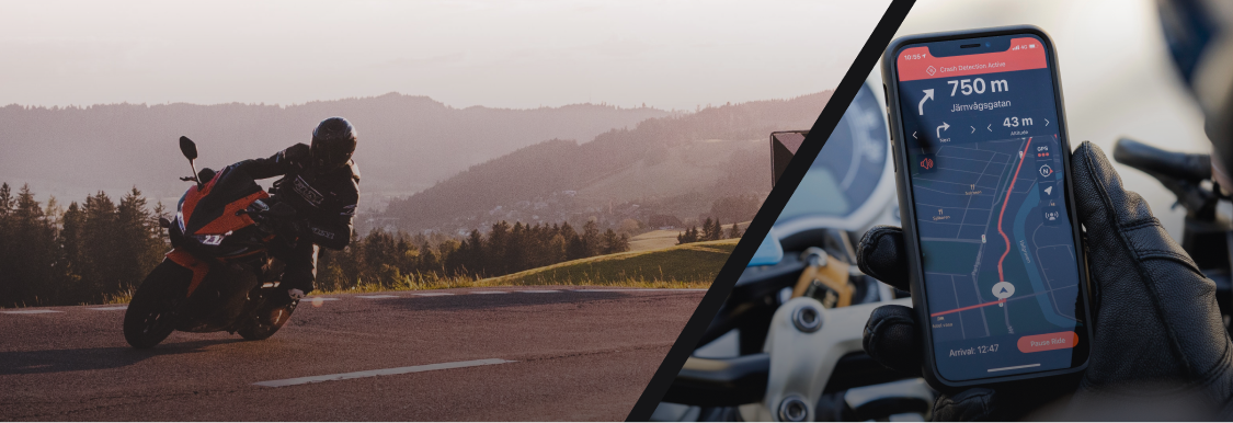
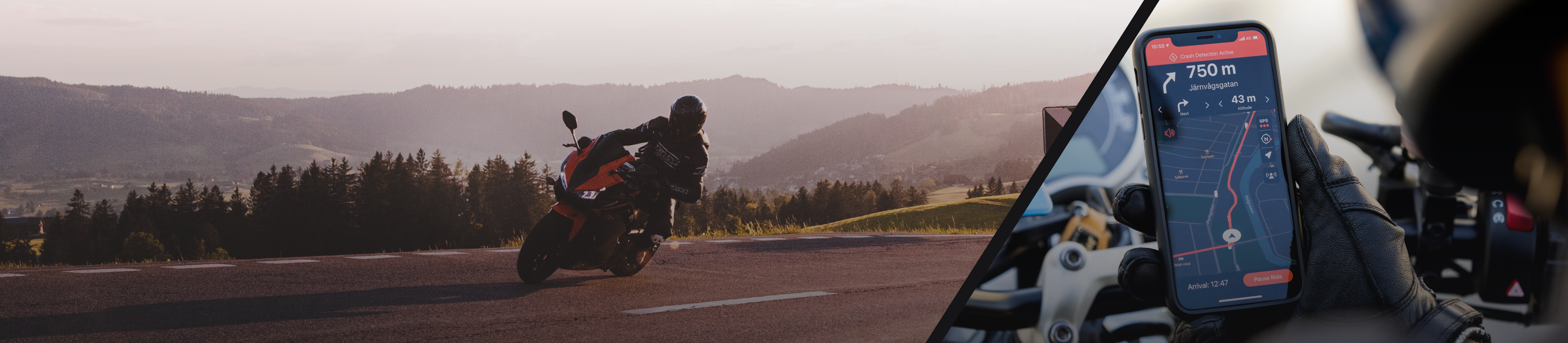
Ready to check out the best motorcycle routes in Waynesville? Detecht has 11 great routes in Waynesville for all kinds of riders...
Top routes from Detecht riders
The routes on this page are created by motorcyclists using Detecht. They show roads other riders have taken in and around Waynesville — perfect inspiration when planning your next ride. Browse the routes below to discover new roads for your next motorcycle trip in Waynesville.


Fast

Terrain

Curvy

Forest

Mountain

Water

Fields

City
Top Routes
- #1Tennessee national Park run
Paul Tomlin
From pigeon Forge, to Cherokee
Elevation
1450 m
Distance
134 km
Est. Time
2 h 14 m
- #2Morning ride
The A. Weaver
Elevation
741 m
Distance
91 km
Est. Time
1 h 16 m
- #3Back from waynesville nc.
Rana Zeitler
Elevation
1056 m
Distance
924 km
Est. Time
9 h 54 m
- #4Evening ride
William Blase
Elevation
1845 m
Distance
338 km
Est. Time
5 h 24 m
- #5Blue ridge parkway.
Rana Zeitler
Elevation
1259 m
Distance
221 km
Est. Time
3 h 45 m
- #6Evening ride
Slim Pickins
Elevation
1074 m
Distance
196 km
Est. Time
3 h 9 m
- #7Afternoon ride
Nick Butram
Elevation
1325 m
Distance
198 km
Est. Time
3 h 57 m
- #8Evening ride
Joe Mendez
Elevation
1018 m
Distance
123 km
Est. Time
1 h 59 m
- #9short ride
Rana Zeitler
Elevation
773 m
Distance
105 km
Est. Time
1 h 56 m
- #10Parkway to Maggie
Dalton Cole
Elevation
959 m
Distance
57 km
Est. Time
46 m


Showing 10 of 11