


Best motorcycle routes in
Stirling
Best motorcycle routes in Stirling
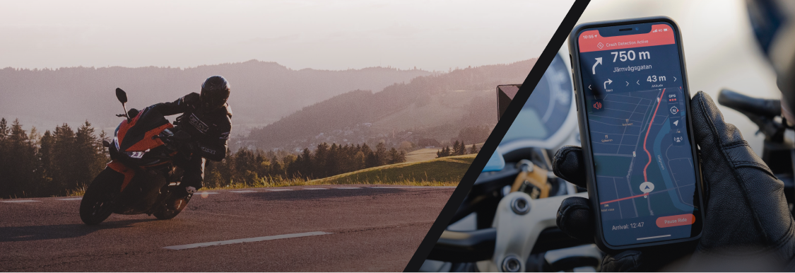
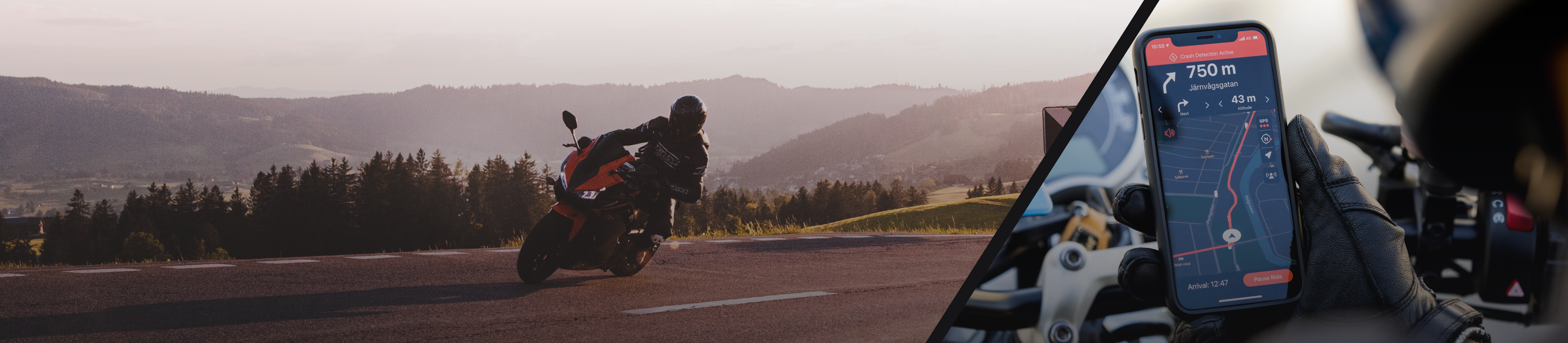
Ready to check out the best motorcycle routes in Stirling? Detecht has 19 great routes in Stirling for all kinds of riders...
Top routes from Detecht riders
The routes on this page are created by motorcyclists using Detecht. They show roads other riders have taken in and around Stirling — perfect inspiration when planning your next ride. Browse the routes below to discover new roads for your next motorcycle trip in Stirling.


Fast

Terrain

Curvy

Forest

Mountain

Water

Fields

City
Top Routes
- #1South Eastern loop
Craig
mainly on deserted back roads in very good condition.
Elevation
533 m
Distance
416 km
Est. Time
5 h 55 m
- #2Ranfurly for lunch
Craig Jessop
Balclutha - Middlemarch - Ranfurly - Palmerston - Balclutha
Elevation
642 m
Distance
397 km
Est. Time
2 h 28 m
- #3Balclutha Roxborough West Otago loop
Craig Jessop
lots of twisty and mainly on good county roads
Elevation
519 m
Distance
287 km
Est. Time
3 h 40 m
- #4Roxborough for lunch
Craig
Elevation
525 m
Distance
297 km
Est. Time
4 h 52 m
- #5Afternoon ride
Craig Jessop
Elevation
518 m
Distance
165 km
Est. Time
1 h 52 m
- #6Afternoon ride
Craig
Elevation
421 m
Distance
218 km
Est. Time
2 h 22 m
- #7Afternoon ride
Craig
Elevation
640 m
Distance
425 km
Est. Time
4 h 2 m
- #8Evening ride
Craig
Elevation
329 m
Distance
128 km
Est. Time
1 h 16 m
- #9Evening ride
Craig
Elevation
253 m
Distance
138 km
Est. Time
1 h 19 m
- #10Evening ride
Craig
Elevation
127 m
Distance
220 km
Est. Time
2 h 47 m


Showing 10 of 19